Hydrogeological models are based on the information available to the hydrogeologist (piezometric level, pumping test, etc.) in order to calibrate the model as closely as possible to reality.

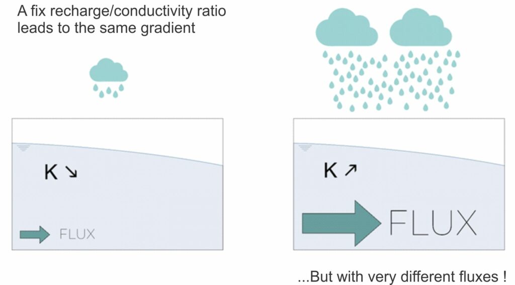
This information is not always easy to obtain, particularly when the hydrogeological gradient in the study area is low (e.g. alluvial plain) and the piezometer network is sparse, making it impossible to estimate the drawdown cone.
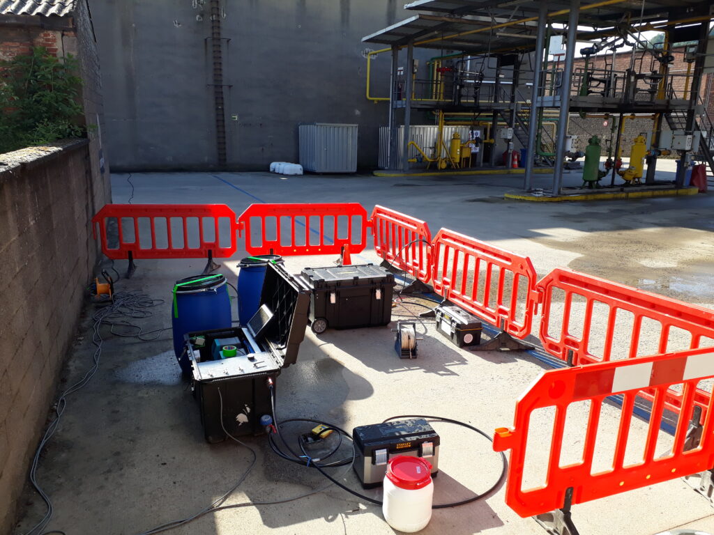
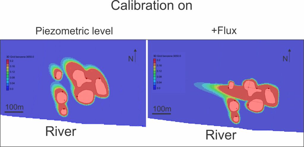
By directly measuring the Darcy flux at certain precise points, it is possible to calibrate the model as closely as possible to reality.
In the case study below (hydrocarbon pollution), the flux measurements showed that 70% of the pollutant mass flux passed through a very narrow and precise zone. The remediation plan was therefore modified accordingly.


